LANDSCAPE PHOTOGRAPHY LOCATION GUIDES:
Yr Wyddfa Ranger Path, Eryri
Summary:
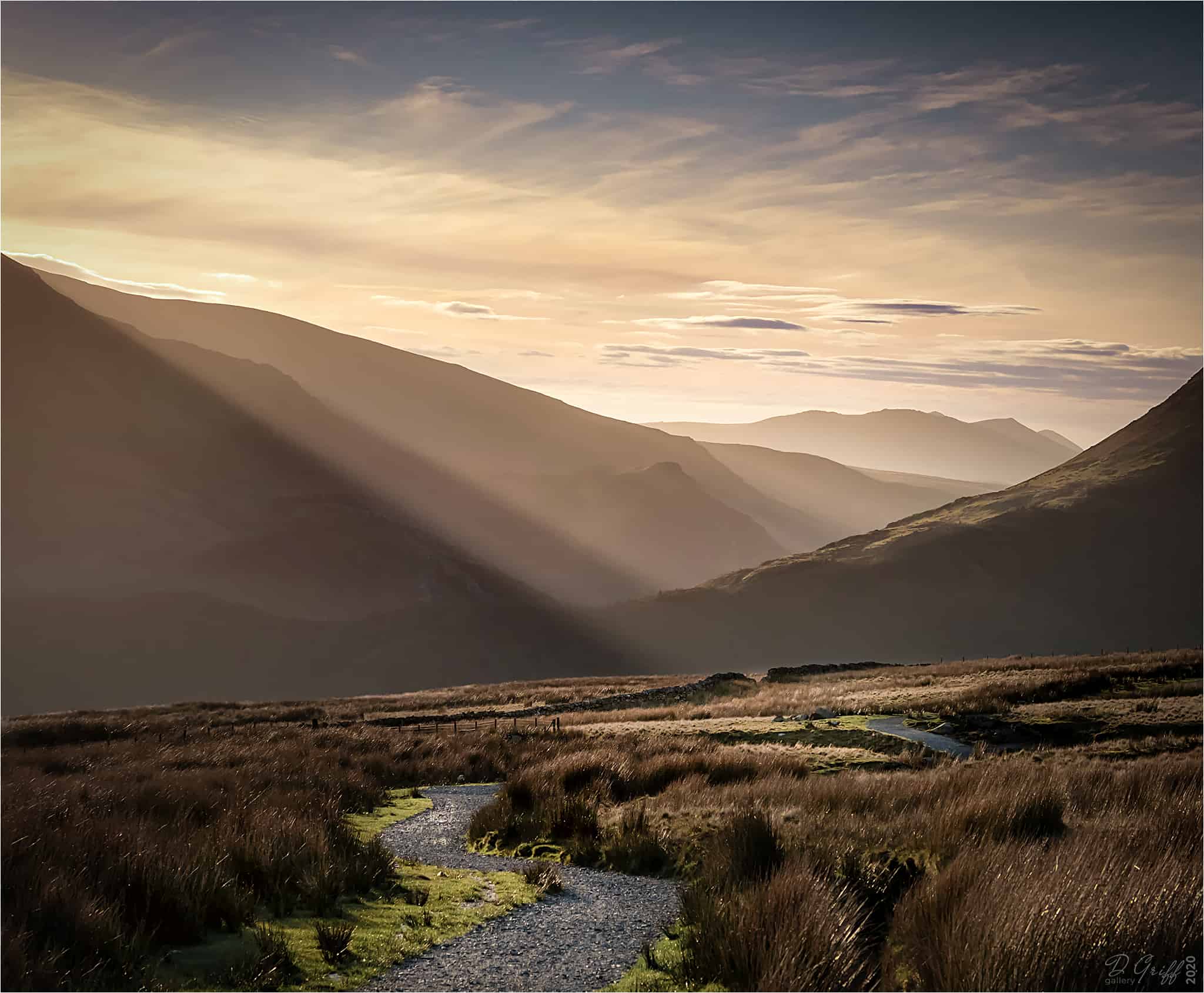
Best at / for: sunset for projected light on Snowdon and views southwards.
Best avoided: during low cloud / poor visibility
Parking: paid parking at start of the path.
Access: extensive steep hill walking required for summit.
Notes: great hiking / wild camping opportunities off the path.
Details:
The Snowdon Ranger Path is the quietest of the 6 main routes to the summit. And although steep walking in parts, on the whole it is much easier than other routes, with the exception of the Llanberis Path. But it is much shorter than the latter.
However, where the Ranger Path comes into its own for the landscape photographer, is the access it affords to other peaks and panoramic views. And being on the south-facing side of the range it is sunlit – when there is any!
Heading for adjacent peaks such as Moel Cynghorion offers stunning panoramas southwards across the Moelwyns, and towards the Lleyn Peninsula. And upwards across the Clogwyns Ridge to Snowdon summit. Other vantage points give enough elevation for views over Dinorwig, the Gyders, Tryfan summit and the Carneddau.
The lower slopes of the Path can be advantageous to photographers even when there is zero visibility of the peaks themselves. In these conditions, moody monochrome landscapes and intimate compositions can also be found. And mists in the forest areas across Llyn Cwellyn can make for good compositions from the elevated viewpoint of the lower zig-zags of the Ranger Path.
Yr Wyddfa (Snowdon) Ranger Path (Ep #204)

